06
Photogrammetry and 3D modelling
Measurable models, orthophotos and point clouds
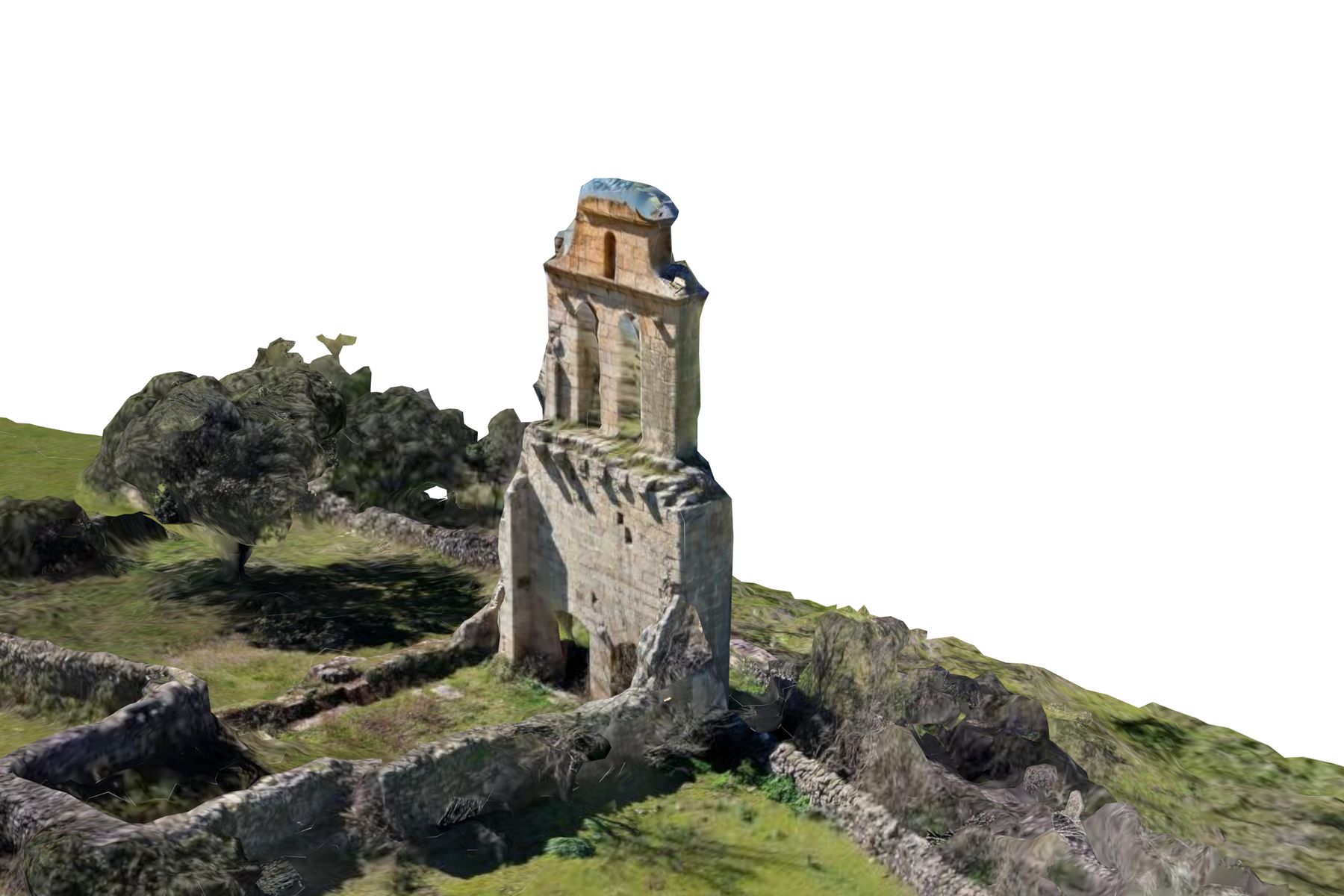
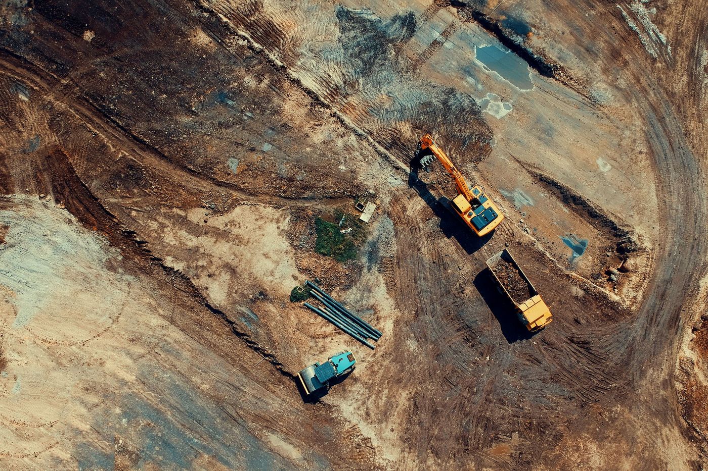
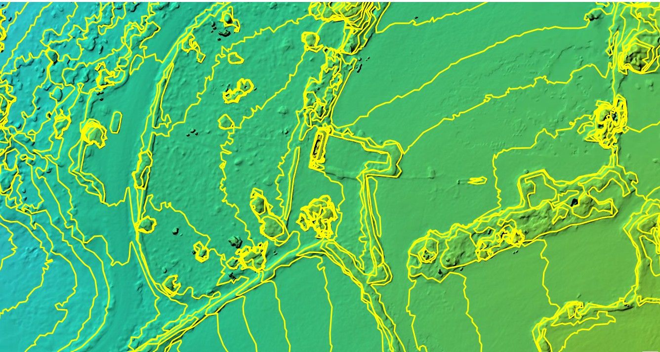
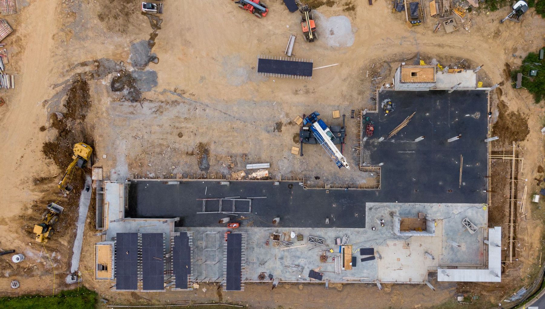
From hundreds of overlapping photographs we reconstruct the real geometry of a building or a site: a textured 3D model on which distances, areas and volumes can be measured, an undistorted orthophoto and a dense point cloud from which plans, elevations and sections are drawn.
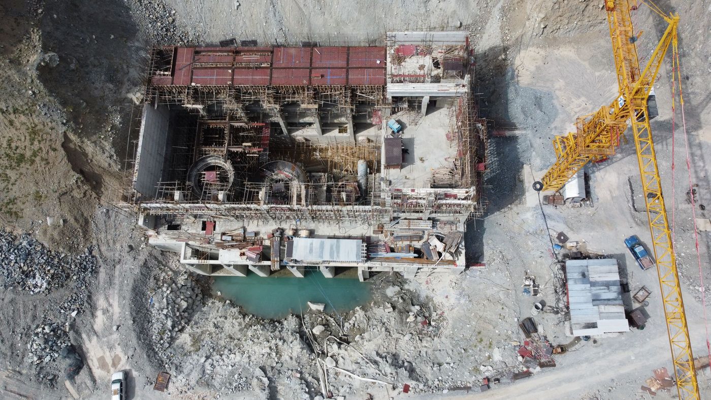
It is the basis for almost everything else: surveying an existing building before refurbishment, as-built documentation, and comparing two stages of the same project.
What's included- Textured 3D model and web viewer to measure in the browser
- Orthophoto and point cloud
- Plans, elevations and sections from the cloud
- Formats
- OBJ, LAS / LAZ, GeoTIFF and DXF, compatible with CAD, BIM and GIS
- Accuracy
- Centimetre-level, with ground control points